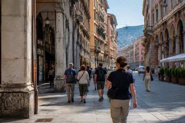
Genoa Map: Old Town, Stations, Port And Seafront
Genoa is a coastal city in Liguria, north-west Italy, squeezed between the Ligurian Sea and the Apennine hills, and its map is a long, narrow strip rather than a circle. This guide places the old town, the two main stations, the passenger port and the seafront districts in order, with straight-line distances, transport fares and port figures drawn from the city's own published numbers.
Short answer
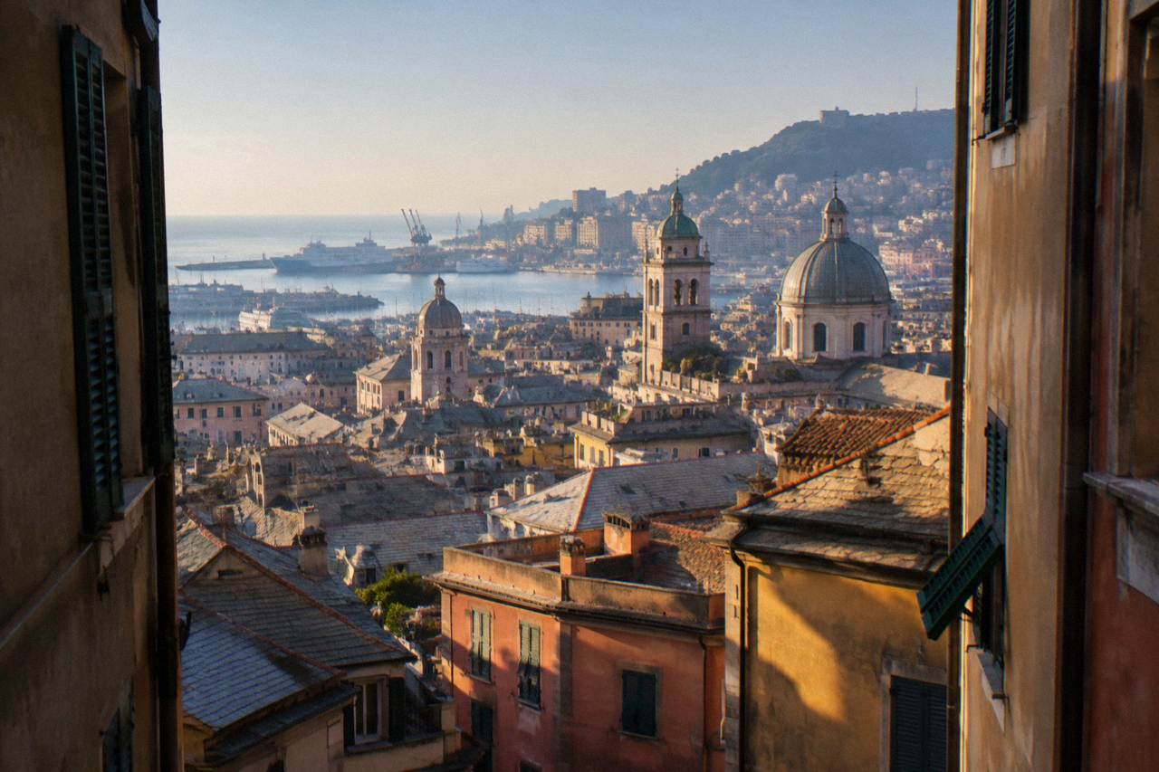
Central Genoa runs west to east along the shore: Piazza De Ferrari at the centre, the old town and Genova Piazza Principe to the west, Genova Brignole and the seafront to the east, and the cruise and ferry terminals on the water in between.
Genoa is a coastal city in Liguria, north-west Italy, on the Ligurian Sea, and its shape explains almost everything about how it reads on a map. The comune held 566,247 residents at 1 January 2026, with 820,691 in the metropolitan city (R, ISTAT via comuniecitta.it), spread along a narrow strip of land between the sea and the Apennine hills. There is no broad ring of suburbs arranged around a circular centre. Instead the city stretches along the shore, with the historic centre pressed against the water, the Porto Antico and a major working and ferry port along the waterfront, and the hills rising sharply behind. The Genoa Travel Guide desk lays out the geography in this page in plain order: the centre, the old town, the two main stations, the passenger port, the seafront districts and the day-trip ring beyond the city limits.

Where Is Genoa On The Map Of Italy?
Genoa sits on the north-west coast of Italy, in Liguria, on the Ligurian Sea, at the centre of the arc of coastline that curves from the French border around to Tuscany, with the Apennine hills pressed directly against its back. The city is a working port and ferry hub as well as a historic centre, and its position on the map makes it a natural base for the Riviera: Portofino lies about 25 km to the south-east in a straight line, the Cinque Terre about 67 km, Milan about 119 km to the north, Turin about 123 km to the north-east, and Nice and Monaco about 141 km to the west. All distances are straight-line measurements from Piazza De Ferrari, the city's central square.
The map position also shapes the weather. The official 1971-2000 normals for Genoa Sestri, the Aeronautica Militare station at the airport, put January's mean daily high at 11.5 C with a mean low of 5.5 C, and August at 27.7 C with a mean low of 21.0 C. October carries the highest monthly rain total in the table at 171.3 mm, and July the lowest at 24.2 mm. Rain falls year round, 1,079.2 mm across the twelve months, so the map reader planning walks in the caruggi should treat an umbrella as standard equipment rather than a seasonal item. The full weather breakdown and the best-time-to-visit guide carry the month-by-month detail.
How Is Central Genoa Laid Out On The Map?
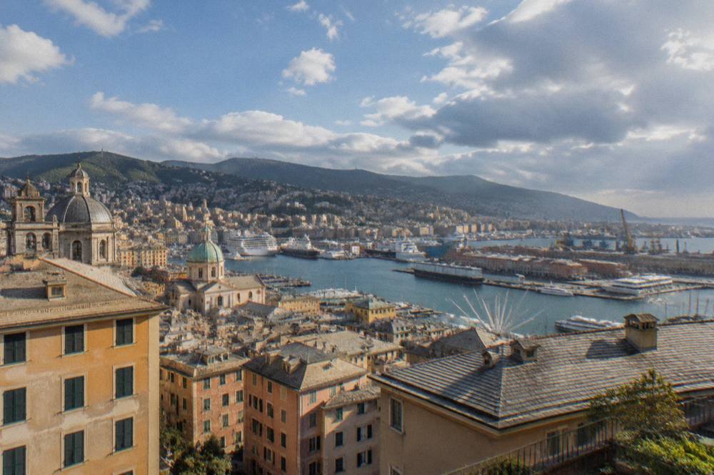
Central Genoa is organised along a west-to-east line: the old town and its caruggi sit west of Piazza De Ferrari, the grand shopping streets and the main commercial axis run east of it, and the sea closes the whole arrangement along the south side. Piazza De Ferrari is the reference point for every distance quoted on this site, with Palazzo Ducale and the Cathedral of San Lorenzo inside the historic core to its west and Via XX Settembre, the city's main shopping street, stretching to its east. The historic centre covers 113 hectares and is described on the official tourism site as one of the largest medieval historic centres in Europe.
The hills are the second structuring feature. They rise immediately behind the centre, which is why the city's public lifts and the Zecca-Righi funicular are genuine transport rather than curiosities: the Castelletto Levante lift climbs 57 m from Piazza Portello to the Spianata Castelletto viewpoint, running daily 06:40 to 24:00, and a single ride on any lift or the Sant'Anna funicular costs 1.20 EUR. A flat map shows none of this vertical layer, so it is worth holding the picture of a three-tier city in mind: sea level, mid-slope, ridge. The guide to the lifts and funiculars and the itinerary pages give the practical sequences.
Two anchor sights fix the west and east ends of the centre. To the west, the Porto Antico, redeveloped by Renzo Piano for the 1992 Columbus Expo, holds the Aquarium of Genoa, opened in 1992 and open 365 days a year, and the Bigo panoramic lift. To the east, Corso Italia begins about 4 km in a straight line from the centre and runs on toward Boccadasse. Between them lies almost everything a first map search returns: the Strade Nuove and the Palazzi dei Rolli, inscribed by UNESCO in 2006 with 42 palaces, the Cathedral of San Lorenzo, and the dense lanes of the old town.
What Are The Two Main Train Stations On A Genoa Map?
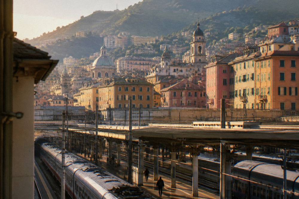
Genoa's two principal stations are Genova Piazza Principe, about 1.4 km west of Piazza De Ferrari in a straight line, and Genova Brignole, about 1 km to the east, and together they bracket the historic centre from both ends. Principe serves the west-facing lines and the airport bus connection; Brignole serves the east-facing coastal lines toward the Riviera di Levante. The metro line, 7 km long with 8 stations from Brin to Brignole, links the two through the centre, with stops including Darsena, San Giorgio, Sant'Agostino and De Ferrari. The metro does not yet reach Canepari or Martinez: those extensions are reported as targeted for June 2027 and December 2028 respectively (R).
On the map the stations matter because they split the city into two arrival scenarios. Arriving at Principe puts the old town, the Porto Antico and the Aquarium within the western half of the centre. Arriving at Brignole puts the traveller closer to Via XX Settembre, Corso Italia and the eastern seafront. An ordinary AMT ticket, 2.00 EUR and valid 110 minutes on the whole urban network, covers a metro or bus hop between them; the integrated AMT and Trenitalia version is 2.20 EUR. The train stations guide carries the detail.
Long-distance lines read off the map in two directions. Genoa to Milan runs about 1 h 30 to 2 h with fares from about 11 EUR, and Genoa to Turin about 1 h 36 to 2 h 18 (R, reported, confirm at booking). The eastward coastal line runs to Camogli, about 18 km straight line, Santa Margherita Ligure, about 24 km, and on toward the Cinque Terre and La Spezia. The La Spezia day-trip page covers the far end of that line.
| Station | Straight-line distance from Piazza De Ferrari | Serves | Notes |
|---|---|---|---|
| Genova Piazza Principe | about 1.4 km | West-facing main lines, Volabus airport bus | Metro stop on the Brin to Brignole line |
| Genova Brignole | about 1 km | East-facing coastal and regional lines | Eastern metro terminus |
Where Do Cruise Ships And Ferries Dock On The Genoa Map?
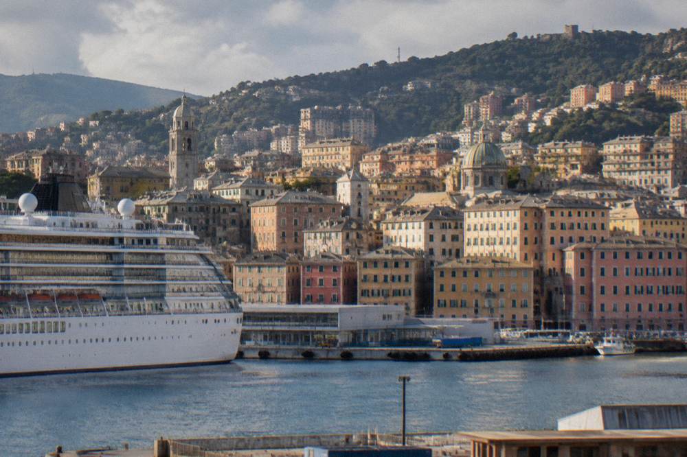
Cruise ships dock at Ponte dei Mille and Ponte Andrea Doria, about 1.4 km from Piazza De Ferrari in a straight line, while the ferry terminals at Calata Chiappella, Ponte Caracciolo and Ponte Colombo sit about 2 km to the west. The port's own figures record 2.4 million cruise passengers, 2.6 million ferry passengers and 7,619 ship calls in its latest published numbers. Ferry lines seen at the terminal include GNV, Moby, Tirrenia, Co.Tu.Nav, which sails to Tunis, and MSC cruises, with routes including Palermo, Porto Torres, Tunis and Marseille.
The walk-in question matters to map readers, and the geography answers it plainly: the passenger terminals sit on the same waterfront as the Porto Antico, with the old town directly inland. The cruise port guide and the page on walking into Genoa from a cruise port cover the specifics, and the cruise port day itinerary sequences a single day ashore. For passengers with luggage to stow, the luggage storage guide lists the options near the terminals.
A warning for the map reader planning sea day trips: there is no regular scheduled ferry from Genoa to the Cinque Terre. Golfo Paradiso runs a "Genoa - Cinque Terre" tour on set dates only (R). Scheduled boat services along the coast run from other ports, and the Portofino-bound traveller can read the Portofino boat options instead.
| Terminal | Straight-line distance from Piazza De Ferrari | Traffic |
|---|---|---|
| Ponte dei Mille | about 1.4 km | Cruise |
| Ponte Andrea Doria | about 1.4 km | Cruise |
| Calata Chiappella | about 2 km | Ferries |
| Ponte Caracciolo | about 2 km | Ferries |
| Ponte Colombo | about 2 km | Ferries |
Which Genoa Districts Sit Along The Seafront?
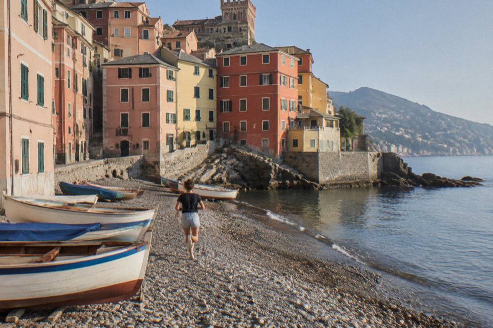
The seafront reads on the map as an east-to-west chain: the Porto Antico at the harbour, Corso Italia about 4 km out, Boccadasse about 4 km, Nervi about 9 km east, and Pegli about 10 km west, all measured in a straight line from Piazza De Ferrari. Corso Italia is the seaside promenade linking the Foce area to Boccadasse, and Boccadasse is the old fishermen's village with its small beach, colour-washed houses and gozzo boats drawn up on the shingle. Nervi adds the Passeggiata Anita Garibaldi clifftop walk and the Parchi di Nervi, 9.2 hectares of parks and villa museums. Pegli sits on the western side, toward the airport.
One map note deserves care: the sea itself is not uniform. ARPAL's 2026 bathing-water classification rates the sampling point at Boccadasse as SCARSA, poor, while Nervi's is rated BUONA (R, attributed to ARPAL). The regional network covers 380 sampling points along the Ligurian coast in four classes: Eccellente, Buona, Sufficiente and Scarsa. A swimmer choosing between the two on a map should know the classes differ. The dedicated district pages for Pegli carry the local detail, as does the Corso Italia page.
| Seafront place | Straight-line distance from Piazza De Ferrari | Character |
|---|---|---|
| Porto Antico | central, on the waterfront | Aquarium, Bigo, Renzo Piano redevelopment of 1992 |
| Corso Italia | about 4 km | Seaside promenade toward Boccadasse |
| Boccadasse | about 4 km | Former fishermen's village with a small beach |
| Nervi | about 9 km | Clifftop promenade and 9.2 hectares of parks |
| Pegli | about 10 km | Western seaside district toward the airport |
How Far Are The Day-Trip Destinations From Genoa?
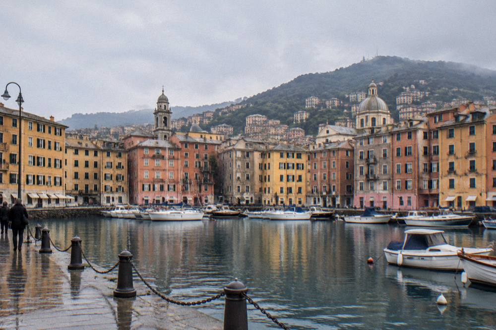
The day-trip ring around Genoa runs from Recco at about 17 km to the Cinque Terre at about 67 km, all measured in a straight line from Piazza De Ferrari: Camogli about 18 km, San Fruttuoso about 22 km, Santa Margherita Ligure about 24 km, Portofino and Rapallo about 25 km each, and Sestri Levante about 40 km. Beyond the immediate Riviera, Portovenere lies about 82 km, Milan about 119 km, Turin about 123 km, and Nice and Monaco about 141 km. None of these places is part of Genoa itself; on the map they form a chain of separate towns along the coast and inland plains.
The train is the map's natural tool for the eastern Riviera. The coastal line calls at Camogli, Santa Margherita Ligure and Rapallo before reaching Sestri Levante and the Cinque Terre, and Genoa to Milan takes about 1 h 30 to 2 h by train with fares from about 11 EUR (R). For the water route, the Golfo Paradiso "Two Gulfs" tour departs Genoa Porto Antico on listed dates from March 2026, calling at Nervi, Recco, Camogli, San Fruttuoso and Portofino, with crossings of about 30 minutes between Camogli and San Fruttuoso and between San Fruttuoso and Portofino. The Genoa walking tour guide sits alongside the itinerary pages that sequence these trips.
Portofino itself is closed to through traffic: it is a limited-traffic zone for residents and authorised vehicles, and non-resident drivers use paid car parks reported at about 8 EUR per hour (R). Line 782, the AMT bus from Santa Margherita Ligure to Portofino, is included in the Met Daily ticket, which at 10.00 EUR covers 24 hours across the whole AMT network including Volabus. That single ticket, held by a map reader, turns the Principe-to-Portofino corridor into one fare rather than three.
| Destination | Straight-line km from Piazza De Ferrari |
|---|---|
| Recco | about 17 |
| Camogli | about 18 |
| San Fruttuoso | about 22 |
| Santa Margherita Ligure | about 24 |
| Portofino | about 25 |
| Rapallo | about 25 |
| Sestri Levante | about 40 |
| Cinque Terre | about 67 |
| Portovenere | about 82 |
| Milan | about 119 |
| Turin | about 123 |
| Nice and Monaco | about 141 |
Which Sights Cluster Inside The Old Town?
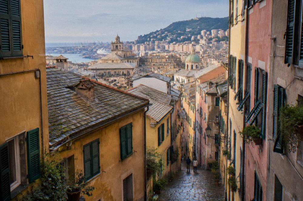
The old town's caruggi, the narrow lanes of the medieval historic centre, cluster around the Cathedral of San Lorenzo, Palazzo Ducale and Piazza De Ferrari, with the Musei di Strada Nuova and the Strade Nuove palaces immediately to the north-west on the Renaissance extension streets. The UNESCO inscription, "Genoa: Le Strade Nuove and the system of the Palazzi dei Rolli", covers 42 palaces from the Rolli lists of 1576, 1588, 1599, 1614 and 1664 (R). Palazzo Doria-Tursi, one of the three Strada Nuova museums, holds Paganini's violin "Il Cannone", built in Cremona in 1743. The trio of museums, Palazzo Rosso, Palazzo Bianco and Palazzo Doria-Tursi, opens daily 10:00 to 18:30 in the winter timetable running 28 September 2026 to 18 April 2027, with Monday visits limited to Palazzo Rosso only.
On the map the old town reads as a dense block between the port and Piazza De Ferrari, and the lanes inside it defeat a straightforward paper reading: the caruggi are narrow, angled and stacked, which is why guided formats exist for them. The old town caruggi page describes the lanes, and the Porto Antico page covers the waterfront edge of the same walk. For the vertical dimension, the Castelletto Levante lift and the Zecca-Righi funicular, both running daily 06:40 to 24:00, lift the walker out of the block to the Spianata Castelletto terrace, a ride costing 1.20 EUR on either.
To find your way through those lanes with the story behind them, book a self-guided audio tour here.
The museum geography rewards a little planning. The Genoa Museum Card, 24 EUR for 24 hours or 45 EUR for 48 hours at the 2026 rates, covers 28 city museums, 19 municipal plus 9 others, and the "+bus" variants add AMT buses for the card's validity. It does not cover Volabus, Navebus or trains. The museum card guide and the Aquarium tickets guide set out what each option buys, and the two-day itinerary puts the sights in walking order.
| Old town sight | Position on the map | Verified figure |
|---|---|---|
| Cathedral of San Lorenzo | Inside the medieval block | Treasury museum Mon to Sat 09:00 to 12:00 and 15:00 to 18:00, closed Sunday |
| Palazzo Ducale | Beside Piazza De Ferrari | World Press Photo 2026 to 8 Dec 2026 |
| Musei di Strada Nuova | North-west of Piazza De Ferrari | Winter hours daily 10:00 to 18:30, Monday Palazzo Rosso only |
| Aquarium of Genoa | Porto Antico, on the waterfront | Open 365 days, adult fixed-date from 26.00 EUR |
| Spianata Castelletto | Above the centre, mid-slope | Lift daily 06:40 to 24:00, 1.20 EUR a ride |
How Do You Read Transport On A Genoa Map?
A Genoa transport map has three layers: the metro line of 8 stations running Brin to Brignole through the centre, the AMT bus network across the whole city, and the vertical layer of 14 public lifts plus two funiculars, with an ordinary ticket at 2.00 EUR valid 110 minutes on all of it. The Met Daily ticket at 10.00 EUR covers 24 hours of the full network, including Volabus, the airport bus that reaches Genova Piazza Principe, Piazza De Ferrari and Genova Brignole in about 30 minutes. The Volabus requires the 10.00 EUR Met Daily ticket (24 hours, full network). The airport itself, Genova Cristoforo Colombo, lies about 7 km west of Piazza De Ferrari in a straight line, and the fixed taxi fare from it to the centre is 25 EUR per car, 30 EUR for more than four people, plus 2 EUR at night and on holidays.
The car, by contrast, is the map's awkward layer. The historic centre and other central zones are ZTL limited-traffic areas under a city regulation updated in 2025, so driving into the medieval block is restricted rather than merely slow. The reader planning to combine a car with the city centre should park outside the restricted zones and use the metro or buses inward. For orientation by night, the nightlife guide picks up where the daytime map ends.
For anyone whose map reading stops at the edges of the centre, guided formats cover the geometry efficiently. The Segway tour of the caruggi covers lanes a paper map renders as an undifferentiated block, and its Check availability link sits on the operator's live listing. The same applies to the deeper historic layers: the history guide and the shopping guide both trace streets the traveller will already have crossed on the map above.
| Transport item | Figure | Notes |
|---|---|---|
| AMT ordinary ticket | 2.00 EUR, 110 minutes | Whole urban network |
| AMT and Trenitalia integrated | 2.20 EUR, 110 minutes | Limited Trenitalia use included |
| Met Daily 24h | 10.00 EUR | Includes Volabus, line 782, lifts |
| Lift or Sant'Anna funicular ride | 1.20 EUR | Single ride |
| Airport taxi, fixed fare | 25 EUR per car | 30 EUR over 4 people, +2 EUR night and holidays |
| Metro line | 7 km, 8 stations | Brin to Brignole |
What Does The Genoa Map Mean For Planning Days?
The map rewards a west, centre, east, hills structure: Principe and the old town in the west, Piazza De Ferrari and Via XX Settembre in the centre, Brignole, Corso Italia, Boccadasse and Nervi in the east, the lifts to the ridge above, and the day-trip ring spreading east and west along the coast. An ordinary ticket covers a single traverse of that line, and the Met Daily covers a day of hopping along it. The port sits on the south edge throughout, so cruise and ferry arrivals enter the map from the water rather than from a ring road.
Seasons change the reading less than in most Italian cities, because the sea moderates the climate: the official 1971-2000 normals for Genoa Sestri put even January's mean daily high at 11.5 C. October, at 171.3 mm of rain, is the month the table flags for anyone mapping outdoor walking, while July records 24.2 mm. Events also cluster on the map: the Salone Nautico, 1 to 6 October 2026 for its 66th edition, fills the water front, and the Festival della Scienza runs 22 October to 1 November 2026 across city venues. The two-day itinerary sequences the whole map for a short stay, and the root things to do in Genoa page indexes every district and sight named here.
Common Questions About The Genoa Map
Where is Genoa on the map?
Genoa is a coastal city in Liguria, north-west Italy, on the Ligurian Sea, roughly midway on the coastline arc between the French border and Tuscany. Portofino lies about 25 km south-east in a straight line, Milan about 119 km north and Nice and Monaco about 141 km west.
How far is the airport from central Genoa?
Genova Cristoforo Colombo Airport is about 7 km from Piazza De Ferrari in a straight line. The Volabus reaches Genova Piazza Principe, Piazza De Ferrari and Genova Brignole in about 30 minutes, and it requires the 10.00 EUR Met Daily ticket. The fixed taxi fare is 25 EUR per car.
Which train station is closer to the old town?
Genova Piazza Principe, about 1.4 km from Piazza De Ferrari in a straight line, sits nearest the old town and the Porto Antico. Genova Brignole, about 1 km from Piazza De Ferrari, serves the eastern side of the centre and the coastal line toward Camogli and Portofino.
Can you walk from the cruise port into Genoa?
The cruise terminals at Ponte dei Mille and Ponte Andrea Doria lie about 1.4 km from Piazza De Ferrari in a straight line, with the old town directly inland from the waterfront, and the dedicated answer page covers the walking routes in detail.
Is there a ferry from Genoa to the Cinque Terre?
There is no regular scheduled ferry from Genoa to the Cinque Terre. Golfo Paradiso runs a "Genoa - Cinque Terre" tour on set dates only, and the scheduled boat services along that coast depart from other ports. The train along the coast is the year-round link.
How big is the old town on the map?
The historic centre covers 113 hectares and is described on the official tourism site as one of the largest medieval historic centres in Europe. Its caruggi, the narrow lanes, fill the block between the port and Piazza De Ferrari, with the Strade Nuove palaces just to the north-west.